Quick start (5 minutes)
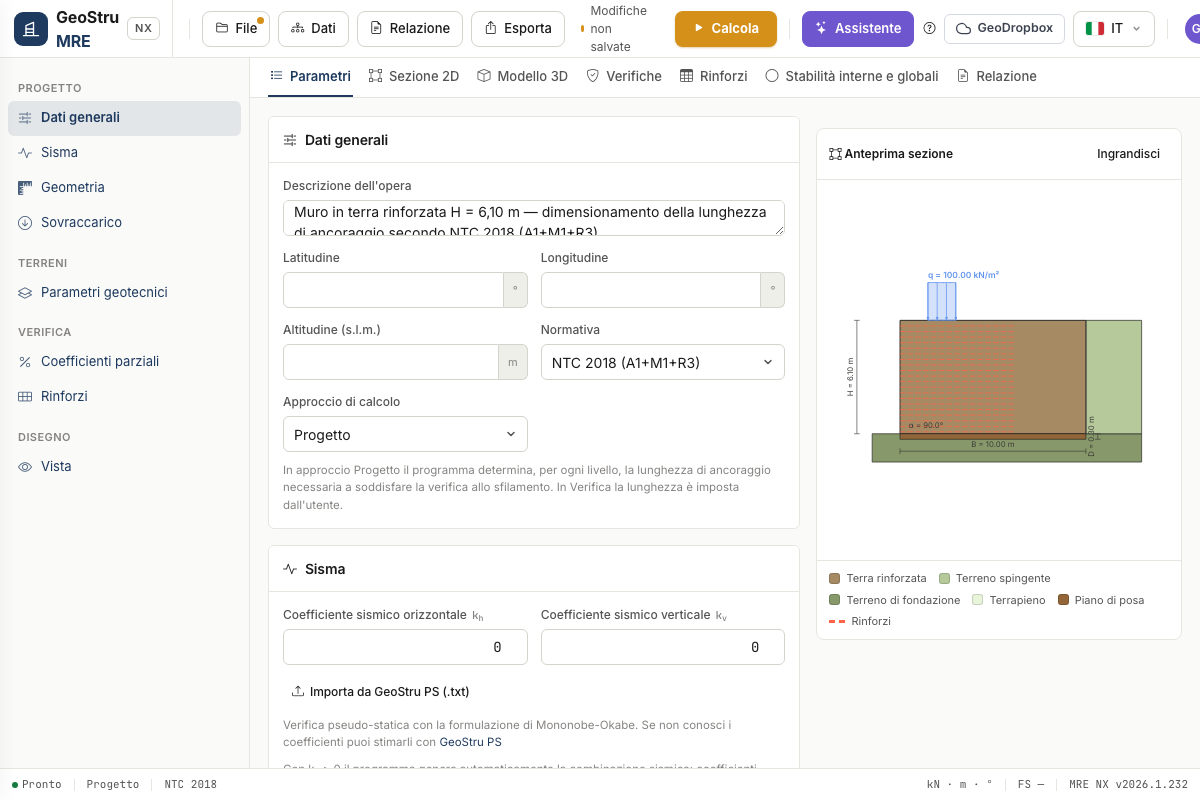
- General data — description, site coordinates (lat/lon/elevation), design code (NTC 2018, Eurocodes or User) and approach: Design (the program works out the anchorage lengths) or Check (you impose them).
- Seismic action — enter kh and kv, or use Import from GeoStru PS (.txt): the GeoStru PS report fills in hazard data and coefficients for the four limit states (SLV applied automatically) and copies the coordinates into General data.
- Geometry — height H, base B, inclination of the outer facing α, optional inner excavation αs, backfill slope β and foundation depth D. The preview on the right follows every change.
- Surcharge — load strip q with start/end abscissas and type (permanent, crowd, traffic, …): it drives γQ in the static combination and ψ₂ in the seismic one.
- Geotechnical parameters — the three soils: reinforced, retained, foundation.
- Reinforcements — spacing s, nominal strength tult and reduction factors RF, or pick a product from the Archive. With Lrip > 0 you draw the wrap-around facing.
- Press Calculate and read the results in the Checks, Reinforcements and Global stability tabs; generate the Report in DOCX.
Data goes into the cards on the left; the preview on the right follows every change.
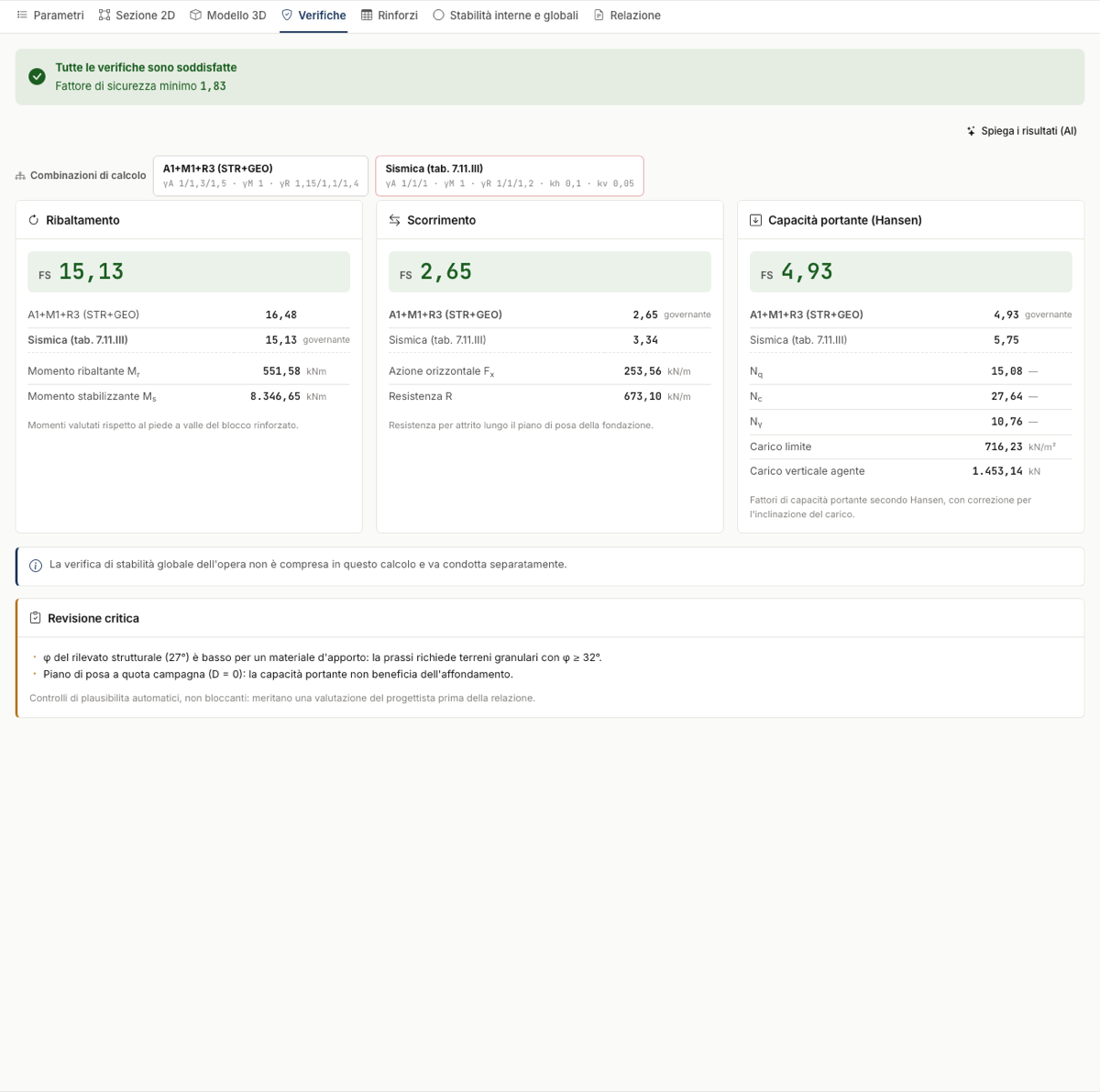
After the calculation the Checks tab sums up overturning, sliding and bearing capacity, with the factor of safety of each combination.
Saving
A project is saved as an .mre file (File → Save) or on GeoDropbox; the state of the page is kept in the session at every change anyway.
Found an error on this page? Let us know or open a Pull Request.